
Lab4Geo
Domain — Modern Surveying

Modern surveying and field-to-office workflows.

We build the software behind surveying operations — field data capture, processing, QA, and delivery — for professionals that need speed without sacrificing survey-grade accuracy.

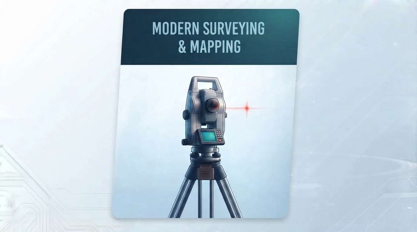
Modern surveying and mapping

Why modern surveying needs purpose-built software.

Survey work has gone digital, but the software workflows often haven't caught up. The gap between field and office is where accuracy and time are lost.

⏱️

Field-to-office delay

Field data sits on devices until someone manually uploads it. Every hour of delay is a chance for errors to compound before they're caught.

🧩

Inconsistent field data

Different crews, instruments, and habits produce data that doesn't drop cleanly into the processing pipeline — creating manual rework at every job.

✅

Survey-grade QA is manual

Quality control routines depend on individual attention. One missed step can invalidate an entire survey and trigger a costly re-survey.

📦

Deliverable diversity

Clients want CAD, GIS, PDFs, and portals — often for the same job. Producing each one from the same underlying survey is time-consuming.

Example use cases.

Where custom surveying software delivers measurable operational gains.

Field Pipeline Automation

Field-to-office survey pipeline

The scenario: A survey practice captures data on tablets and total stations but has no consistent flow into the office. Every job involves manual data transfer and re-formatting.

How we help: We build the end-to-end pipeline — device-side capture, automatic upload, format normalisation, QA checks, and export to the client's target formats.

  • Field capture application for tablets and instruments
  • Automated upload and format normalisation
  • QA rules engine with exception reporting
  • Export to CAD, GIS, and PDF
Practice Operations Resourcing

Survey practice workflow platform

The scenario: A growing practice has outgrown spreadsheets for job planning, resourcing, and deliverable tracking. Coordination across teams is becoming the bottleneck.

How we help: We build a practice-scale workflow platform — job management, crew scheduling, deliverable tracking, and a client-facing view — designed around how surveyors actually work.

  • Job and project management
  • Crew and equipment scheduling
  • Deliverable tracking and client portal
  • Time and cost reporting
Instruments Processing GNSS

Total station and GNSS data processing

The scenario: A firm has data from multiple total stations and GNSS receivers, each with its own format and adjustment requirements. Processing is slow and inconsistent across jobs.

How we help: We build instrument-specific processing into a unified pipeline — format parsing, network adjustment, geoid handling, and output to the project's coordinate system.

  • Multi-instrument format parsing
  • Automated network adjustment
  • Geoid model integration
  • Coordinate system transformation
QA Metadata Audit

Survey QA and metadata system

The scenario: An agency or large practice needs to demonstrate survey quality to clients and auditors but relies on individual surveyors to maintain QA records.

How we help: We build a structured QA and metadata system — enforcing routines, capturing signatures, and producing audit-ready documentation for every survey.

  • Structured QA checklist enforcement
  • Digital signatures and audit trail
  • Metadata capture aligned with national standards
  • Exportable compliance reports

Let's discuss your surveying workflow.

Tell us about your instruments, your field process, and where the friction is. We'll come back with a scoped approach.

Start the Conversation

or email me directly at darion.grant@gmail.com