
Lab4Geo
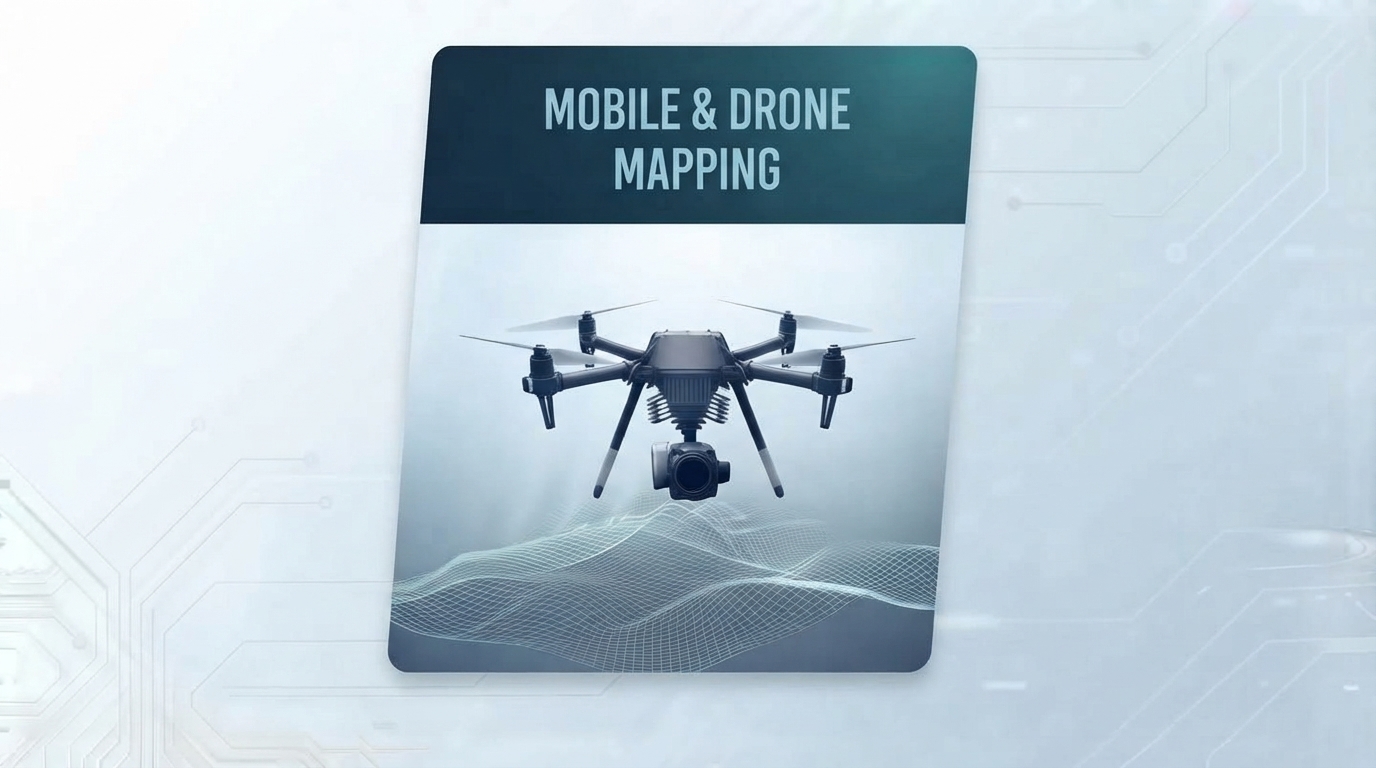
Domain — Mobile & Drone Mapping

Mobile and drone mapping — captured, processed, delivered.

We build the software around mobile and drone capture — planning, route management, imagery ingestion, photogrammetry pipelines, and automated deliverable generation.

Mobile and drone mapping

Why mobile and drone mapping pipelines break down.

Capturing imagery is the easy part. Turning it into a deliverable, at pace, is where most operations hit the wall.

📦

Volume and speed

Drone and vehicle capture generates gigabytes per mission. Manual processing cannot keep up with the rate of capture.

🧩

Integration across sources

Different drones, cameras, and vehicles produce incompatible data. Aligning them into one dataset is a specialist engineering task.

⚠️

Quality control under pressure

Overlap gaps, coverage issues, and georeferencing errors surface too late — often after the crew has left site.

⏱️

Deliverable turnaround

Clients expect processed outputs within hours, not days. The bottleneck is almost always software, not capture.

Example use cases.

Where mobile and drone mapping software delivers measurable value.

Drones Photogrammetry Automation

Automated drone mapping pipeline

The scenario: A drone operator or survey firm captures imagery but relies on desktop software and manual steps to turn it into orthophotos and DSMs. Every job takes days.

How we help: We build the automated backend — flight-log ingestion, imagery QA, photogrammetric reconstruction, orthophoto generation, and export — running with human supervision.

  • Imagery ingestion and QA
  • Automated photogrammetric reconstruction
  • Orthophoto and DSM generation
  • REST API and job queue for downstream systems
Mobile Mapping Assets Street-level

Vehicle-mounted mobile mapping platform

The scenario: A team captures street-level imagery and LiDAR with a vehicle rig but has no efficient pipeline from capture to asset datasets and inventory systems.

How we help: We build the mobile mapping pipeline — georeferencing, point cloud registration, automated asset extraction, and integration with asset management systems.

  • Georeferencing and point cloud registration
  • Automated asset detection and extraction
  • Integration with asset management systems
  • Data products: point clouds, imagery, vectors
Construction Progress Change

Construction progress monitoring

The scenario: A construction firm flies drones weekly over active sites but has no structured way to compare progress between flights, quantify change, or report to stakeholders.

How we help: We build the progress monitoring platform — repeat flight alignment, change detection, volume calculation, and client-facing dashboards.

  • Repeat flight alignment and georeferencing
  • Change detection between captures
  • Volume and progress calculation
  • Client-facing dashboards and reports
Utilities Corridor Inspection

Utility and corridor inspection

The scenario: A utility operator needs regular inspection of linear assets — power lines, pipelines, road corridors — but manual review of drone imagery is too slow to scale.

How we help: We build the inspection pipeline — automated defect detection along linear assets, spatial indexing, and integration with maintenance systems.

  • Automated defect detection along corridors
  • Spatial indexing of findings
  • Integration with maintenance and work-order systems
  • Inspection reporting and audit trail

Let's discuss your capture pipeline.

Tell us how you capture, what you need to deliver, and where the bottleneck is. We'll come back with a scoped approach.

Start the Conversation

or email me directly at darion.grant@gmail.com