National
Registry
Government
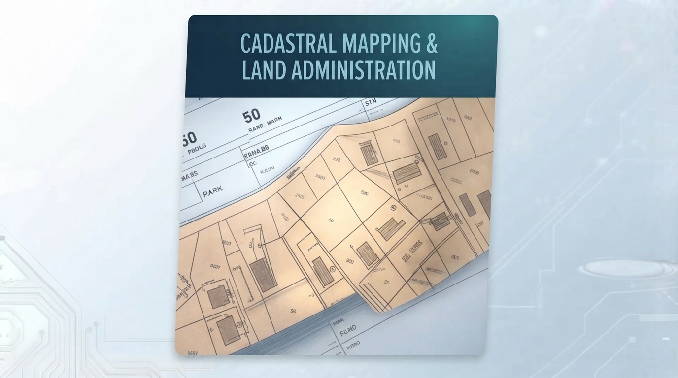
National cadastral and land registry platform
The scenario: A national government needs to modernise land administration — replacing fragmented paper and legacy systems with a unified cadastral and registry platform serving ministries, surveyors, banks, and citizens.
How we help: We design and deliver the national platform — cadastral mapping, parcel management, registry integration, and public-facing services — with sovereign deployment, full documentation, and handover to the responsible agency.
- National cadastral and registry platform
- Integration with survey, legal, and tax systems
- Public-facing services and APIs
- Training and capacity building for agency staff
- Full documentation and source code handover
Survey Practice
Parcel Management
Survey practice cadastral management
The scenario: A land survey firm manages hundreds of active parcel files, each with survey data, legal documents, and client communications. Coordination across the team is manual and error-prone.
How we help: We build a practice-scale cadastral management system — parcel tracking, spatial data, document management, and client portal — designed around how surveyors actually work.
- Parcel and file management
- Spatial viewer with survey layers
- Document and correspondence tracking
- Client portal for status and deliverables
Integration
Registry
Banking
Cadastral-registry integration for lending
The scenario: A national registry needs to provide authenticated parcel data to banks and conveyancers for mortgage and title checks — securely, at speed, and with a clear audit trail.
How we help: We build the integration layer — authenticated APIs, audit logging, and rate-limited access — connecting the cadastral system to the institutions that depend on it.
- Authenticated search APIs
- Parcel and title verification endpoints
- Full audit logging and access control
- Integration with bank and conveyancer systems
Modernisation
Legacy
Migration
Legacy land record migration and modernisation
The scenario: An agency has decades of land records in mixed formats — scanned documents, shapefiles, CAD, spreadsheets — and needs them migrated into a modern system without losing legal traceability.
How we help: We design the migration — parsing, georeferencing, deduplication, QA, and audit trails — so the modernised system retains full traceability back to source records.
- Multi-format data ingestion pipeline
- Georeferencing and spatial alignment
- Deduplication and QA
- Audit trail linking new records to legacy sources